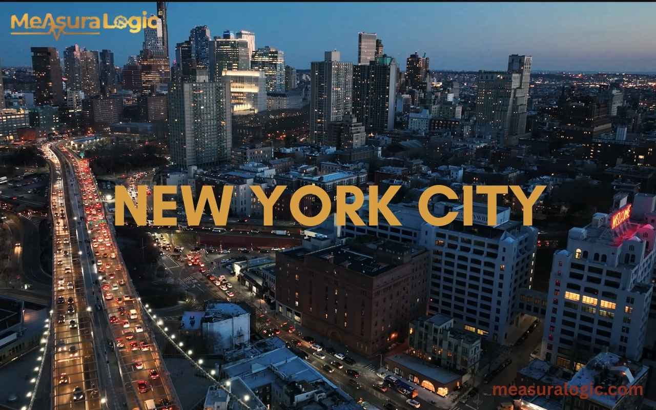
Few cities capture the world’s imagination like New York City. From the towering skyscrapers of Manhattan to the sprawling neighborhoods of Queens and Brooklyn, this urban environment thrives on energy, diversity, and movement. Millions of people live, work, and play across its five boroughs, making it one of the busiest and most densely populated cities on the planet.
But there’s more to NYC than its iconic skyline. Its land area, waterways, and infrastructure reveal a carefully organized metropolis that balances growth with geography. Exploring the city shows why New York City remains a model of modern urban planning and a true global metropolis.
A Quick Snapshot of New York City
Before diving deeper into geography and growth, it helps to see the key numbers that define bold New York City. These figures show just how much activity fits inside a relatively small amount of land.
| Metric | Data |
|---|---|
| Population (2024 est.) | ~8.46 million residents |
| Population Density | ~28,000 residents per sq mi |
| Boroughs | 5 |
| Shoreline | 520 miles of waterfront |
| Highest Elevation | 401 ft (Todt Hill, Staten Island) |
Even at a glance, the numbers reveal something remarkable. A relatively modest land area supports millions of residents while remaining the center of one of the largest metropolitan regions on the planet.
How Large Is New York City in Total Area?
Look at a map and you will notice something unusual about bold New York City. Much of it sits on islands and peninsulas rather than continuous land. That geography helped shape the city’s trade routes, its transportation networks, and the iconic skyline that continues to evolve.
Today the city covers nearly 469 square miles in total area. However, only about two-thirds of that space is land.
Learn about 8 inches long 17 everyday objects
Total Geographic Area of New york city
The physical size of bold New York City breaks down into two main components.
| Category | Area |
|---|---|
| Total Area | 468.9 mi² |
| Land Area | 302.6 mi² |
| Water Area | 166.3 mi² |
Because the city developed around natural harbors and rivers, the water area plays a huge role in shaping its layout.
These waters include:
- New York Harbor
- Hudson River
- East River
- Long Island Sound
- Atlantic Ocean shoreline
Together they created one of the most valuable port locations in the world.
Distribution of Land and Water Across the City
Roughly 35% of New York City’s territory is water. That proportion is far higher than in most major cities.
This expansive water area forms hundreds of miles of waterfront regions, which support shipping, recreation, and tourism. However, the same coastline also introduces risks.
Important environmental concerns include:
- Coastal erosion
- Storm surge flooding
- Rising sea level
- Infrastructure protection
As a result, modern planners integrate flood defenses and climate adaptation into new development projects.
Natural Boundaries That Define New york city
The geographical boundaries of bold New York City rely heavily on surrounding rivers and coastal waters.
Major natural borders include:
- Hudson River separating Manhattan from New Jersey
- East River between Manhattan, Brooklyn, and Queens
- Harlem River connecting the Hudson and East Rivers
- Long Island Sound bordering Queens and the Bronx
- Atlantic Ocean forming the southern coastline
These waterways turned the city into a maritime gateway connecting North America with global trade routes.
Elevation and Natural Landscape
Although famous for dense development, the terrain of bold New York City isn’t completely flat.
The city ranges from sea level along the coast to 401 feet above sea level at Todt Hill on Staten Island.
| Location | Elevation |
|---|---|
| Todt Hill, Staten Island | 401 ft |
| Washington Heights, Manhattan | ~265 ft |
| Riverdale, Bronx | ~280 ft |
| Battle Hill, Brooklyn | ~220 ft |
These elevation differences influence drainage systems, road networks, and neighborhood design.
The Five Borough Structure of New York City
Explore About Pringles Can Dimensions and Size
One reason New York City functions so efficiently is its unique administrative structure. Instead of operating as a single district, the city consists of the five boroughs, each with its own identity and geography.
Together they form the heart of the NYC metropolitan region.
The five boroughs include:
- Manhattan
- Brooklyn
- Queens
- The Bronx
- Staten Island
Each borough contributes something unique to the overall urban landscape.
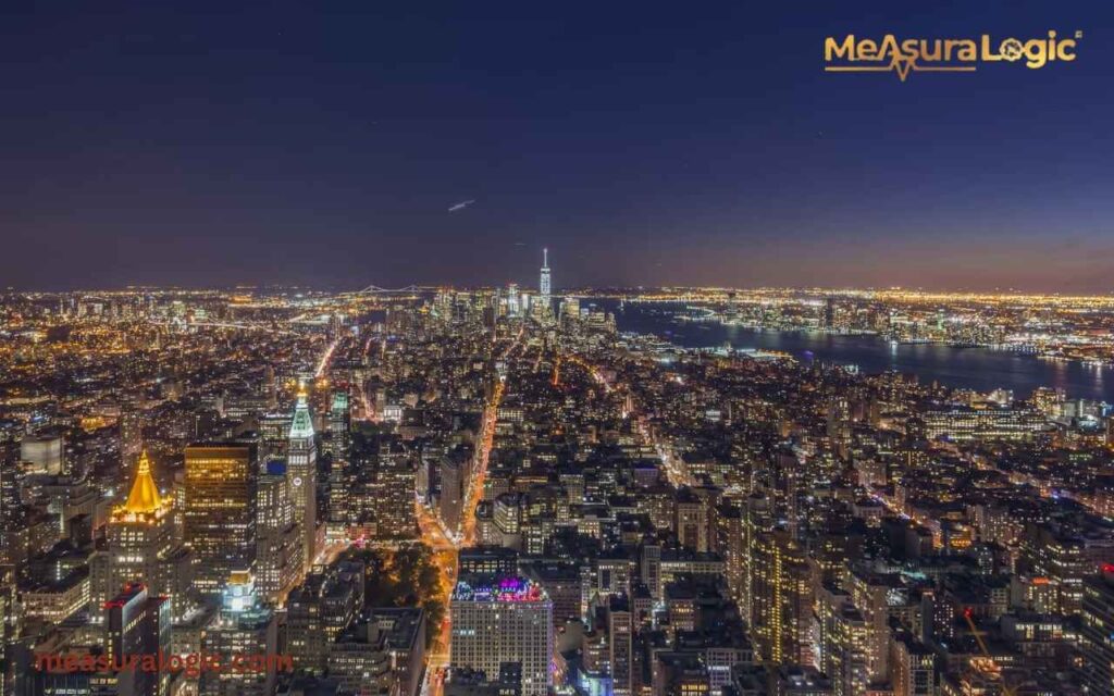
1. Manhattan: The Economic Core
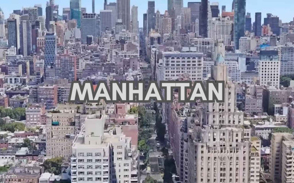
The Manhattan borough occupies only about 22.8 square miles, yet it functions as the financial and cultural center of the city.
| Metric | Value |
|---|---|
| Land Area | 22.8 mi² |
| Population | ~1.63 million |
| Density | ~72,000 residents per sq mi |
This extreme Manhattan density comes from vertical construction. Tall residential towers and office buildings concentrate millions of people within a small space.
Manhattan contains:
- Wall Street financial district
- Times Square entertainment hub
- Midtown business towers
- Central Park
The borough also holds many of the city’s most famous skyscrapers.
2. Brooklyn: The Most Populous Borough
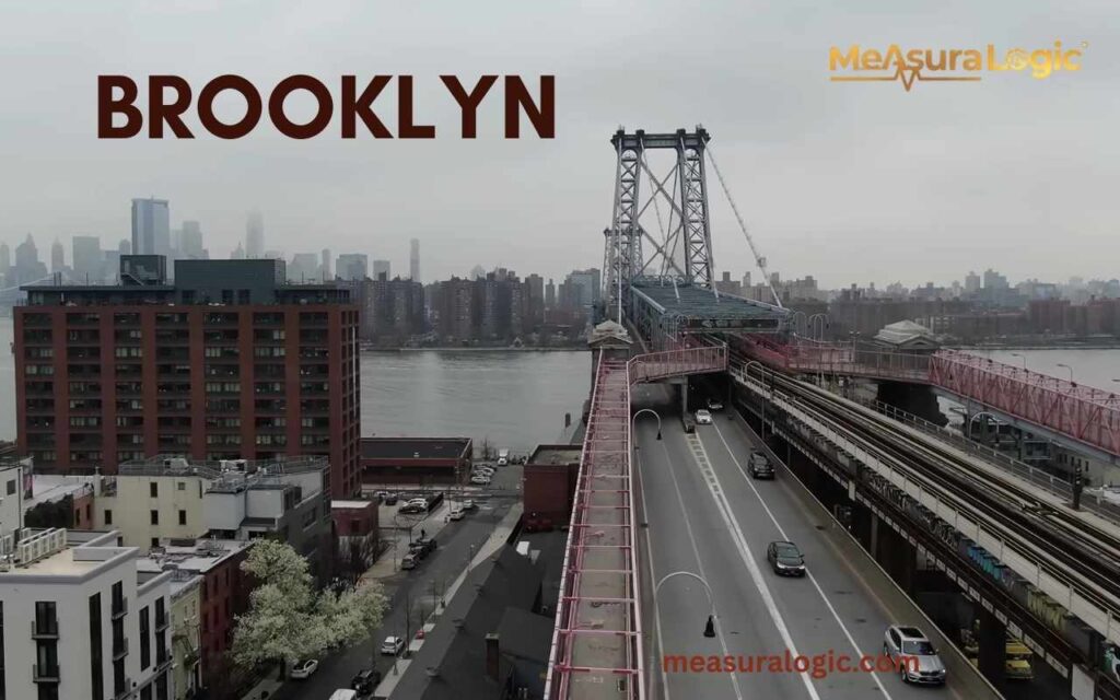
Across the East River lies Brooklyn, home to the largest population among the five boroughs.
| Metric | Value |
|---|---|
| Land Area | 69.4 mi² |
| Population | ~2.6 million |
| Density | ~39,000 people per sq mi |
Brooklyn blends historic neighborhoods with rapidly developing waterfront districts.
Notable areas include:
- Williamsburg
- Park Slope
- DUMBO
- Coney Island
Large redevelopment projects along the East River have accelerated urban growth across the borough.
3. Queens: The Largest Borough by Land
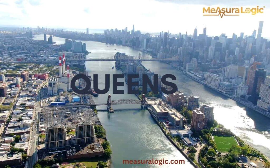
While Brooklyn has the largest population, Queens holds the most square miles of land.
| Metric | Value |
|---|---|
| Land Area | 108.7 mi² |
| Population | ~2.4 million |
| Density | ~22,000 residents per sq mi |
Queens is famous for its diversity. More than 160 languages are spoken here, making it one of the most linguistically diverse places on Earth.
It also hosts two major aviation hubs:
- John F. Kennedy International Airport
- LaGuardia Airport
These airports link bold New York City with global destinations.
4. The Bronx: Northern Gateway of NYC
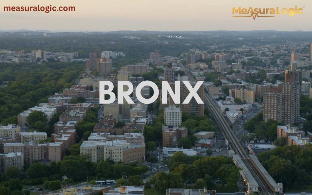
The Bronx is the only borough connected directly to the mainland United States.
| Metric | Value |
|---|---|
| Land Area | 42.1 mi² |
| Population | ~1.47 million |
| Density | ~34,000 residents per sq mi |
The borough contains the city’s largest green spaces, including Pelham Bay Park, which covers over 2,700 acres.
Find about 4 inches measurement
Other notable landmarks include:
- Yankee Stadium
- Bronx Zoo
- New York Botanical Garden
5. Staten Island: The Least Dense Borough
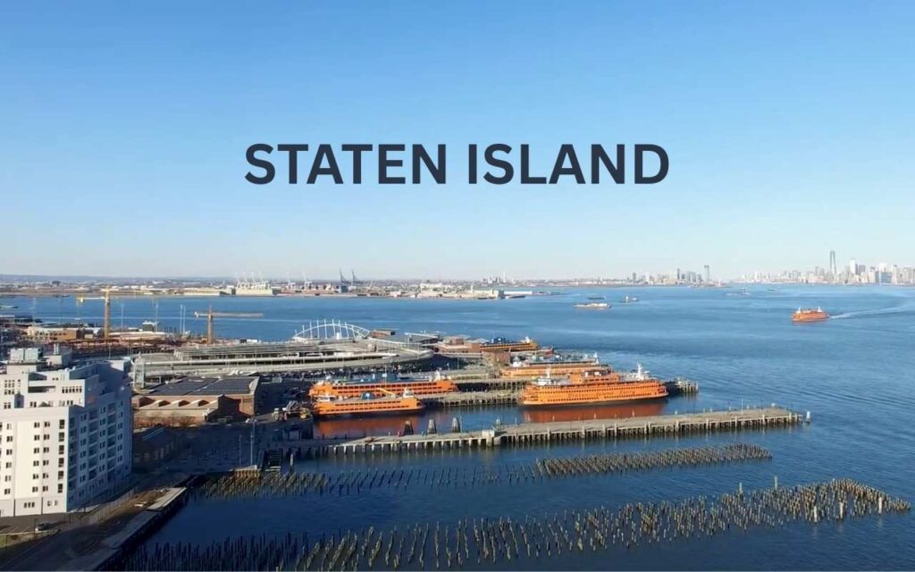
Compared with the rest of the city, Staten Island offers a quieter setting with lower population density.
| Metric | Value |
|---|---|
| Land Area | 58.5 mi² |
| Population | ~495,000 |
| Density | ~8,400 residents per sq mi |
Its neighborhoods feature suburban-style homes, forests, and large parklands. The borough’s highest point, Todt Hill, provides panoramic views of the surrounding waterfront regions.
How Land Is Used Across New York City
With limited land area, planners must carefully organize how space functions within the city.
Land use generally falls into several categories:
- Residential
- Commercial
- Industrial
- Transportation
- Recreation
Balancing these functions keeps the urban environment running efficiently.
Residential Development Patterns
Housing millions of residents requires a wide variety of building types.
Common housing forms include:
- High-rise apartment towers
- Historic brownstone homes
- Public housing developments
- Low-rise neighborhoods in outer boroughs
In areas like Manhattan and downtown Brooklyn, vertical housing dominates because land is scarce.
Major Commercial Districts
The city’s economy concentrates in several powerful business centers.
Major commercial zones include:
- Midtown Manhattan
- Lower Manhattan
- Downtown Brooklyn
- Long Island City
These districts contain millions of square feet of office space and serve as the heart of the city’s finance hub.
Industrial Waterfront Zones
Historically, the city’s waterfront regions supported shipping and heavy industry.
Many of these zones now mix industrial facilities with modern redevelopment projects.
Examples include:
- Brooklyn Navy Yard
- Sunset Park industrial district
- Red Hook port area
These areas remain essential to the city’s maritime economy.
Parks and Open Space Network
Even in a densely populated city, green areas play a crucial role. Major green spaces include:
- Central Park
- Prospect Park
- Pelham Bay Park
- Flushing Meadows–Corona Park
| Park | Size |
|---|---|
| Pelham Bay Park | 2,765 acres |
| Central Park | 843 acres |
| Prospect Park | 526 acres |
These parks provide recreation, improve air quality, and support urban biodiversity.
Population Size and Urban Density
The NYC population exceeds 8.4 million residents, making it the largest city in the United States.
But population alone doesn’t explain the scale of the city. The real story lies in how tightly people live together.
Current Population of New York City
Recent estimates place the NYC population at approximately 8.46 million residents.
However, that number increases dramatically during the day.
Tourists, commuters, and workers push the daytime population closer to 10 million people.
Population Density Across the new york Boroughs
Population distribution varies widely among the five boroughs.
| Borough | Population | Density |
|---|---|---|
| Manhattan | 1.63M | 72,000 per sq mi |
| Brooklyn | 2.6M | 39,000 per sq mi |
| Queens | 2.4M | 22,000 per sq mi |
| Bronx | 1.47M | 34,000 per sq mi |
| Staten Island | 495K | 8,400 per sq mi |
This variation shapes transportation demand, housing markets, and neighborhood lifestyles.
Daily Population Surge from Commuters
Each weekday morning, trains and highways bring millions of commuters into Manhattan.
Major commuter routes include:
- Long Island Rail Road
- Metro-North Railroad
- New Jersey Transit
- Regional highways
These flows intensify the city’s already high urban density during working hours.
Historical Expansion of New York City
The modern global metropolis evolved over centuries through waves of migration, economic growth, and infrastructure development.
Early Colonial Settlement
Dutch settlers founded New Amsterdam in 1624 near the southern tip of Manhattan. The settlement’s natural harbor quickly attracted traders and merchants.
Wooden docks, warehouses, and small farms began to appear along the shoreline. The colony served as a strategic trading post connecting Europe, the Caribbean, and North America. Over time, defensive walls, markets, and shipping routes transformed the small port into a growing colonial town that later evolved into New York City.
Industrial-Era Population Boom
During the 1800s, the city became a gateway for immigrants entering the United States. Millions arrived through Ellis Island, fueling rapid urban expansion. Factories, railroads, and shipping industries created jobs that supported explosive population growth.
Post-War Urban Transformation
After World War II, suburban development temporarily slowed city growth. However, economic revival in the late 20th century brought new investment and immigration. Neighborhood redevelopment transformed areas such as:
- SoHo
- Tribeca
- Williamsburg
Modern Demographic Trends
Today the city continues expanding through new housing construction, redevelopment projects, and international migration.
Recent census data shows strong growth in outer borough neighborhoods where new apartment complexes and transit access attract residents. Younger professionals, international students, and skilled workers continue moving into the city, reshaping neighborhood demographics. Demographers expect the population to approach 9 million residents within the next decade.
Transportation Networks That Power New York City
Moving millions of residents requires massive transportation infrastructure. The city relies heavily on public transit.
NYC Subway Network
The subway system forms the backbone of urban mobility.
| Feature | Value |
|---|---|
| Track Length | 665 miles |
| Stations | 472 subway stations |
| Daily Ridership | ~3.6 million |
| Annual Ridership | ~1.3 billion |
Operated by the Metropolitan Transportation Authority, this network runs 24 hours a day, making it one of the few nonstop transit systems in the world.
Major Bridges and Tunnels
Iconic structures connect the five boroughs across rivers and harbors.
Examples include:
- Brooklyn Bridge
- Manhattan Bridge
- Williamsburg Bridge
- Queensboro Bridge
- Verrazzano-Narrows Bridge
These crossings support millions of daily journeys.
Walking and Cycling in the City
Because distances between neighborhoods are relatively short, many residents travel on foot or by bicycle.
Infrastructure improvements include:
- protected bike lanes
- pedestrian plazas
- waterfront paths
These features improve mobility and reduce congestion.
Vertical Development and Skyscraper Growth
With limited square miles of land, the city grew upward rather than outward.
Today the skyline contains thousands of high-rise buildings.
High-Rise Buildings Across NYC
The city contains more than 6,000 high-rise buildings, many concentrated in Manhattan and Brooklyn.
These structures provide housing, offices, and hotels for millions of people.
Tallest Buildings in the new york City
Some of the world’s most famous tallest buildings rise above the skyline.
| Building | Height |
|---|---|
| One World Trade Center | 1,776 ft |
| Central Park Tower | 1,550 ft |
| 111 West 57th Street | 1,428 ft |
| One Vanderbilt | 1,401 ft |
These supertall skyscrapers represent the city’s continued skyline evolution.
Essential Infrastructure Behind the City
Hidden beneath the streets lies a vast system of pipes, tunnels, and cables supporting the New York City infrastructure.
Learn about everyday objects that weigh 10 pounds
Water Supply System
The city’s water infrastructure includes:
- 19 reservoirs
- 3 water tunnels
- 7,000 miles of water mains
Every day this system delivers more than 1 billion gallons of drinking water to residents.
Sewer and Drainage Network of new york
The underground sewer system stretches over 7,400 miles.
It carries stormwater and wastewater away from homes, businesses, and streets.
Energy and Power Grid
Power plants, substations, and underground cables distribute electricity throughout the city.
These systems support homes, subway stations, businesses, and towering skyscrapers.
Green Spaces and Environmental Features
Despite its density, the city contains extensive green spaces that improve quality of life.
Major Parks and Recreation Areas
The city manages more than 30,000 acres of parkland.
Read about 10 inches long objects with a clear visual guide.
Popular parks include:
- Central Park
- Prospect Park
- Pelham Bay Park
- Flushing Meadows–Corona Park
These parks offer walking trails, lakes, sports facilities, and wildlife habitats.
Urban Trees and Community Gardens
More than 5 million trees grow across the city’s streets and parks.
Community gardens transform small vacant lots into vibrant neighborhood spaces.
Climate Resilience and Coastal Protection
Because much of the city sits near the coast, engineers work to protect against rising sea level and storm surges.
Projects include:
- flood barriers
- elevated waterfront parks
- shoreline restoration
These initiatives strengthen long-term environmental resilience.
Future Development and Urban Expansion
Even after centuries of growth, bold New York City continues evolving.
Major projects are reshaping neighborhoods and infrastructure.
Major Construction Projects
Recent developments include:
- Hudson Yards, the largest private real estate project in U.S. history
- Penn Station redevelopment
- Brooklyn waterfront revitalization
These projects represent the next phase of urban growth.
Housing Growth Strategies of new york
To support rising population levels, planners encourage:
- affordable housing construction
- mixed-use developments
- transit-oriented communities
These policies aim to balance growth with livability.
Fun Facts About New York City
- NYC Has Its Own Island Zoo
Staten Island is home to Snug Harbor Cultural Center & Botanical Garden, which features one of the oldest botanical gardens in the U.S. and even has a small zoo for visitors to explore. - You Can Walk Across a Bridge to Another Borough
The Brooklyn Bridge, completed in 1883, was the first steel-wire suspension bridge ever built and connects Manhattan and Brooklyn. It is walked by over 4 million people each year. - New York City’s Subway Is a 24/7 Adventure
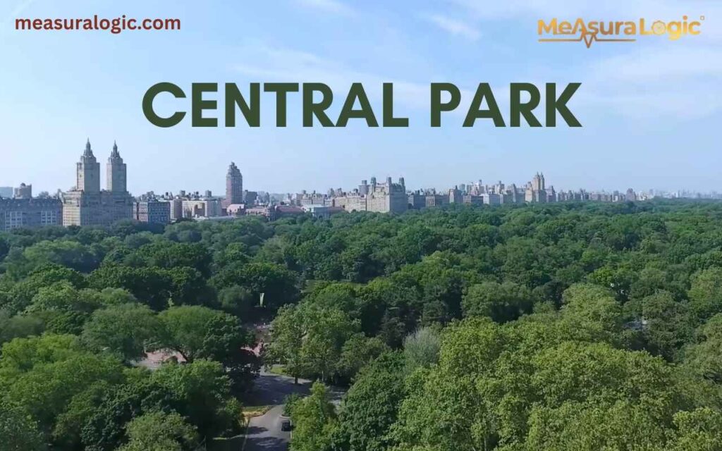
With 472 stations and around 665 miles of track, NYC’s subway system never sleeps. You can literally take a train any hour of the day or night to almost anywhere in the city. - Central Park Is Larger Than You Think
Central Park spans 843 acres, making it larger than the principality of Monaco. Despite its size, it’s entirely machine made and contains lakes, forests, and even wildlife.
Test Your New york Knowledge
Think you know New York City? Let’s find out! Try these two quick, fun challenges and see how well you know the five boroughs, landmarks, and city facts.
Challenge 1: Guess the Borough!
Can you match each famous landmark to its borough?
| Landmark | Borough |
|---|---|
| Yankee Stadium | ? |
| Coney Island | ? |
| Flushing Meadows–Corona Park | ? |
| Staten Island Greenbelt | ? |
| Times Square | ? |
Hint: The answers are hidden in the borough sections above. Do not peek too early.
Challenge 2: True or False?
Test your NYC trivia with these statements:
- Manhattan is the largest borough by land area. (True / False)
- NYC has over 500 miles of shoreline. (True / False)
- The subway system is completely underground. (True / False)
- Staten Island has the highest natural elevation in the city. (True / False)
Check your answers below:
Answers:
- False – Queens is the largest by land area
- True – NYC has roughly 520 miles of coastline
- False – Much of the subway is above ground in outer boroughs
- True – Todt Hill on Staten Island is 401 ft above sea level
Conclusion
New York City is a place of constant motion and change, where neighborhoods, rivers, and streets all tell a story. Its mix of history, culture, and modern development makes it one of the most dynamic cities in the world.
From towering buildings to quiet parks, the city shows how space can be used efficiently while supporting millions of people. As it continues to grow and adapt, New York City remains a remarkable example of urban life at its fullest.
FAQs about new york
1. Does New York City have its own time zone?
No, NYC follows the Eastern Time Zone (ET) along with cities like Boston, Washington D.C., and Miami.
2. How many languages are spoken in New York City?
Over 200 languages are spoken across the five boroughs, making it one of the most linguistically diverse cities in the world.
3. Does NYC experience all four seasons?
Yes, Winters can bring snow, springs and falls are mild, and summers can get hot and humid, creating a full range of seasonal weather.
Read about how long is 5 inches?

Maria Gold is an experienced blogger for Measura Logic, specializing in the fascinating world of dimensions. With a passion for clarity and precision, she breaks down complex concepts related to measurement, size, and spatial relationships. Her insightful articles help readers understand the true logic and implications of different dimensions, from the physical to the theoretical.